Surveillance
Following are the services we offer under Surveillance

Disaster Management, Search and Rescue Operations
Our drones can capture real-time high-resolution images of disaster zones while covering vast areas in a single operation, generating a vast amount of data. This allows response teams to map areas and conduct risk and damage assessment promptly from remote locations. This also helps in locating victims in real-time, enabling faster and safer search and rescue operations.
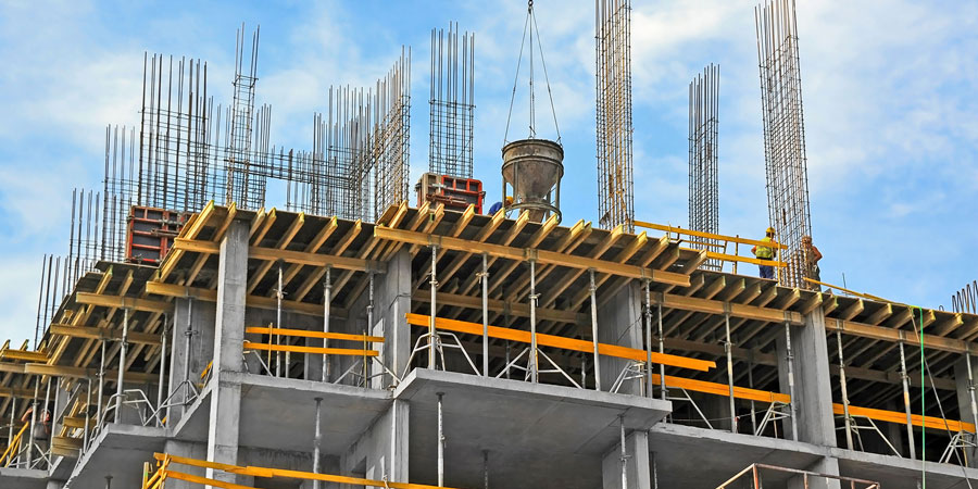
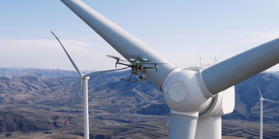
Commercial and Industrial Surveillance
We provide still images, video recordings or live streaming of targets such as people, vehicles or specific areas. This service is used by governments, militaries, law enforcement or commercial entities for mass surveillance, search and rescue operations, goods, surveying land and infrastructure to gather information and intelligence that can be used to assist decision-making.