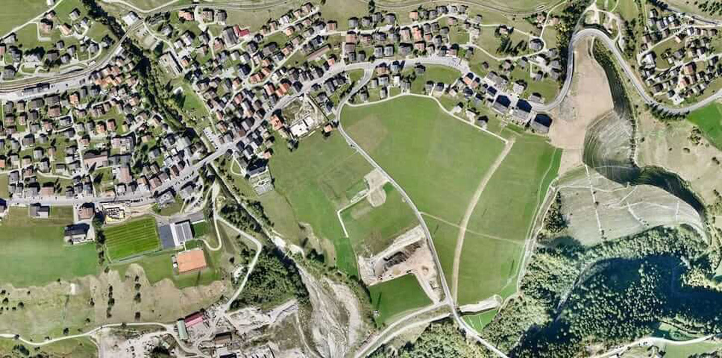
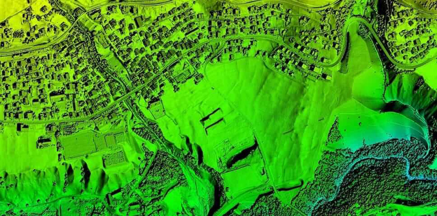
Geospatial Solutions
We provide field-proven drone solutions to customers for land survey and mapping applications. Maps provide critical sources of geographic information to clients. With professional mapping drones, We can map sites large and small, and create accurate digital surface and terrain models with or without vegetation cover.